Mapping Reefs
Scientists have a new tool. It is the Allen Coral Atlas. It is an online map of the world’s coral reefs. Conservationists will use the atlas. It will help them protect coral reefs.
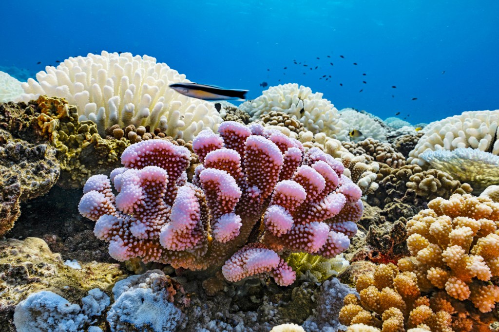
Reefs are home to ocean animals. These include fish and crabs. Reefs also protect coastlines. Tourists visit reefs for their beauty. This brings economic
economic
 YINYANG—GETTY IMAGES
relating to the buying and selling of goods and services
(adjective)
The invention of the steam engine led to economic growth.
benefits to millions of people.
YINYANG—GETTY IMAGES
relating to the buying and selling of goods and services
(adjective)
The invention of the steam engine led to economic growth.
benefits to millions of people.
A Global Effort
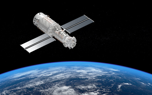
The atlas was made using more than 2 million images. The images were taken by satellites
satellite
 XIA YUAN—GETTY IMAGES
an object that orbits, or circles, another object
(noun)
The satelllite took pictures of Earth.
. The atlas gives users detailed views of coral reefs. It shows sand, rocks, and seagrass. It also shows coral bleaching. Bleaching happens when coral reefs are unhealthy.
XIA YUAN—GETTY IMAGES
an object that orbits, or circles, another object
(noun)
The satelllite took pictures of Earth.
. The atlas gives users detailed views of coral reefs. It shows sand, rocks, and seagrass. It also shows coral bleaching. Bleaching happens when coral reefs are unhealthy.
The atlas is the work of many people. Scientists at Arizona State University led the project. They worked with other groups.
“It really was a global effort,” Helen Fox says. She’s with the Coral Reef Alliance. “There were huge efforts [to help] people be aware of the tool and the potential scientific and conservation value.”
More from United States


Share a Link
- Click the icon above to copy the url link to your clipboard.
- Paste the link into the location in which you share assignments with students. Examples might include, but are not limited to Canvas, Schoology and Edmodo.


Google Classroom
- Click on the icon above to share the article with a class in your Google Classroom.
- Choose an action. Options might include creating an assignment or asking a question.