Mapping Coral Reefs
Scientists have completed the first detailed online map of the world’s coral reefs. The Allen Coral Atlas was made using more than 2 million satellite images. It provides data for conservationists working to protect these delicate ecosystems.
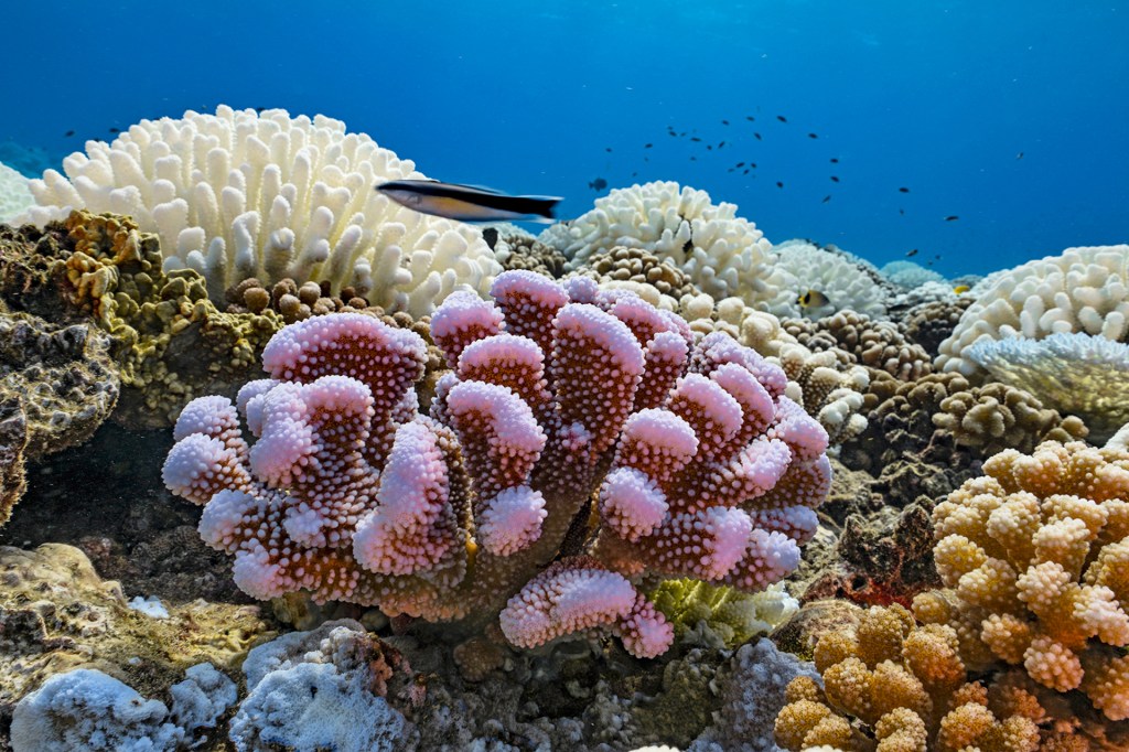
Coral reefs are home to ocean animals, including fish and crabs. Reefs provide food and economic benefits for hundreds of millions of people. They also protect coastlines.
Before the atlas, most of the world’s reefs had never been mapped in such an in-depth way, Greg Asner says. He’s a scientist at Arizona State University (ASU). He’s also the atlas’s managing director. The atlas gives users detailed views of reefs and other underwater features, like sand, rocks, and seagrass. And it has a coral bleaching monitor. This tracks changes in the health of coral reefs in real time.
The Allen Coral Atlas is the work of scientists at ASU. They partnered with other schools, groups, and private companies.
“It really was a global effort,” says Helen Fox, who is with the Coral Reef Alliance. “There were huge efforts in terms of outreach and helping people be aware of the tool and the potential scientific and conservation value.”
Stop and Think! What information about the atlas do you find in the first paragraph? How does the rest of the article add to your understanding of the atlas?
More from World


Share a Link
- Click the icon above to copy the url link to your clipboard.
- Paste the link into the location in which you share assignments with students. Examples might include, but are not limited to Canvas, Schoology and Edmodo.


Google Classroom
- Click on the icon above to share the article with a class in your Google Classroom.
- Choose an action. Options might include creating an assignment or asking a question.